How to Get to the Gothenburg Archipelago: Trams, Ferries and Tickets Explained
The southern Gothenburg archipelago is inside the city's own transport zone, so a single tram and ferry ticket covers the whole trip. Here is exactly how it works.
Short answer
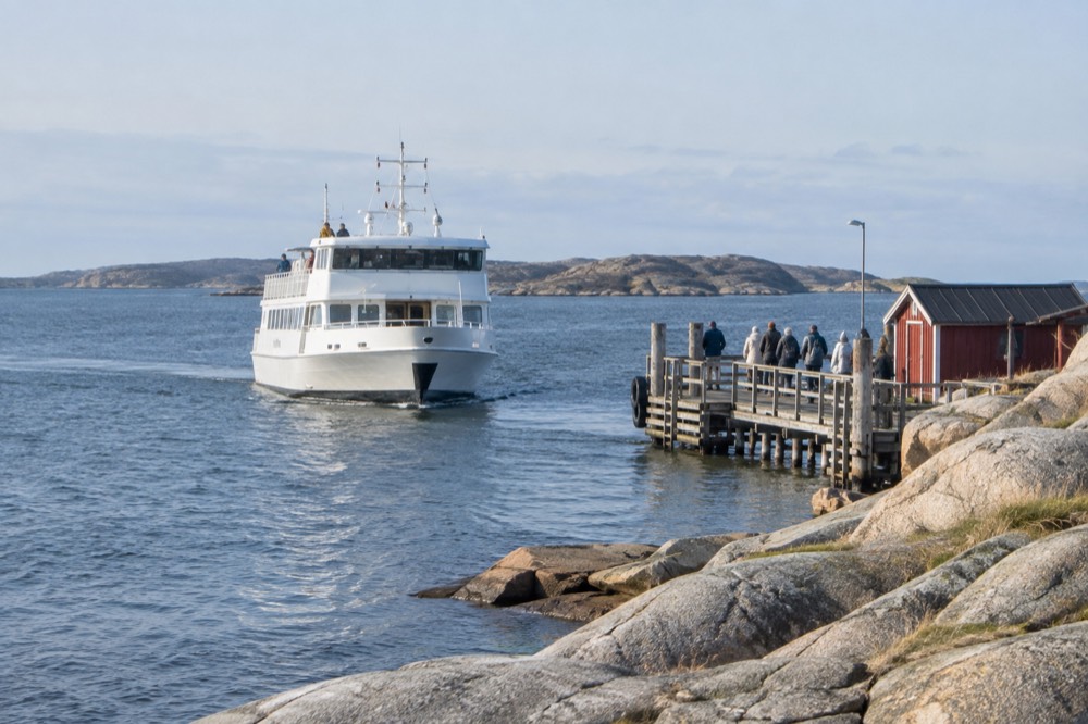
Take tram 11 or 9 to Saltholmen, then a Västtrafik ferry to Styrsö, Brännö, Vrångö, Donsö, Asperö or Köpstadsö. An ordinary Zone A ticket covers both the tram and the ferry: a 24-hour ticket costs 125 kr, and the islands are car-free areas of Gothenburg, not day trips.
The cheapest big day out in Gothenburg is not sold as a tour at all. It is a tram ride and a ferry crossing, bought on one ordinary Västtrafik ticket, and it ends on car-free granite islands in the Kattegat that are formally areas of the city of Gothenburg, Sweden. Västtrafik's own site puts it plainly: you can travel on the same ticket all the way from the centre out onto the sea. This guide walks through the whole route, the tickets, the islands and the timing, using only fares and schedules the transport authority and the city publish themselves.
How Do You Get from Gothenburg City Centre to the Archipelago?
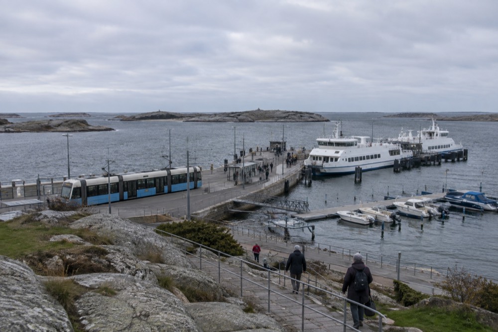
You take a tram west to Saltholmen, the western terminus of the tram network, and change there to a Västtrafik archipelago ferry. The whole journey runs on one ticket: tram lines serve Saltholmen from the city centre, and the ferries to Styrsö, Brännö, Vrångö, Donsö, Asperö and Köpstadsö depart from the piers a short walk from the tram platform. No booking, no tour operator, no separate ferry fare.
Saltholmen is the hinge of the whole system. Göteborgs Spårvägar's own annual report describes the tram network as running to twelve lines, 134 stops and 188 kilometres of single track, from Mölndal in the south to Angered in the north and out to Saltholmen in the west. The tram ride from the centre takes roughly half an hour and finishes, quite deliberately, at a boat terminal. You step off the tram, walk down to the piers, and the next departing ferry is a scheduled Västtrafik service, not an excursion.
The ferry lines from Saltholmen each serve a different cluster of islands, and some call at several islands on one run. Västtrafik publishes the combined tram, bus and boat network map at its official line network map, which shows every boat route alongside the trams, because they are the same network. Check the departure screens at the terminal: boats run less often than trams, and the last departures back to the mainland in the evening are the ones that strand careless visitors.
If you are still building your itinerary, our overview of the Gothenburg archipelago covers what each island is like, and getting around Gothenburg by tram explains the wider network. Arriving by plane first? Start with Gothenburg Landvetter airport to the city centre.
Which Ticket Do You Need for the Saltholmen Ferries?
An ordinary Västtrafik Zone A ticket covers both the tram and the archipelago ferry, because the islands sit inside Zone A. A single adult ticket for one zone costs 38 kr, and a 24-hour Zone A ticket costs 125 kr, the same price in the app or at a shop. There is no separate ferry fare, no island surcharge and no return-ticket rule: the boat is just another line on the network.
That last point is the one that saves the most money. A 125 kr day ticket covers the tram to Saltholmen, the ferry out, hops between islands, and the ride home. For a family or a group, that is the whole cost of a full archipelago day, cheaper than almost any paid attraction in the city. Västtrafik's fare page lists the current prices:
| Ticket | Adult | Youth (7-19) | Where it is valid |
|---|---|---|---|
| Single, 1 zone | 38 kr | 29 kr | Trams, buses and boats in one zone |
| Single, 2 zones | 76 kr | 58 kr | Crosses one zone boundary |
| Single, 3 zones | 114 kr | 87 kr | Longer regional trips |
| 24-hour, Zone A | 125 kr | see Västtrafik | Göteborg, Mölndal, Partille, Öckerö, all archipelago ferries |
Two warnings from the fare rules themselves. First, a temporary state subsidy currently halves the price of 30-day period tickets, cutting the Zone A adult monthly from 890 kr to 445 kr, but Västtrafik is explicit that the subsidy covers period tickets only. The 24-hour and 72-hour tickets a visitor actually buys are not discounted, so do not budget for a half-price day pass. Second, Västtrafik's published prices are the only ones to trust; the 72-hour Zone A price is not shown on the customer page, so check the app before assuming a figure.
The ticket itself is worth a moment of attention before you travel. Västtrafik sells tickets through its app, its website and ticket machines at larger stops, and the fare table on the single-ticket page is the authoritative source for current prices. Contactless bank-card payment is also available on board trams in the city, which buys a single journey directly, but for an archipelago day the 24-hour ticket is almost always the better arithmetic. Buy it before you board, keep it active on your phone, and show it when the ferry crew asks.
If a self-planned island day sounds like too much logistics, a guided boat is the alternative: the operator handles the route while you watch the skerries go by.
Which Islands Can You Reach from Saltholmen?
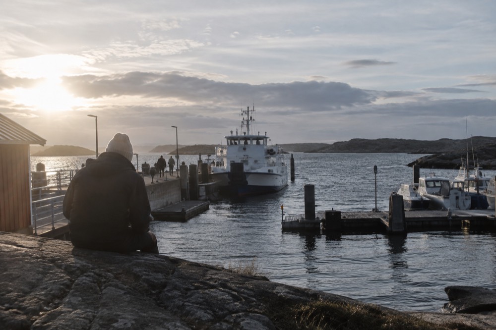
Six southern islands are served by scheduled Västtrafik ferries from Saltholmen: Asperö, Brännö, Styrsö, Donsö, Vrångö and Köpstadsö. All are car-free, all are in Zone A, and each has a different character, from Styrsö's village core and small shop to Vrångö's sandy swimming beach and Donsö's fishing harbour. Crossing times are short, typically 20 to 40 minutes depending on the island and route.
The ferry lines split the islands between them, so the boat you want depends on where you are going, and some runs call at more than one island before turning back. Västtrafik's timetable pages give the current departures for each line, and summer and winter schedules differ, with more frequent boats in the warmer months. The table below is a planning summary, not a timetable: always confirm the day's departures in the Västtrafik app or on the screens at the pier.
| Island | What it is known for | Practical notes for visitors |
|---|---|---|
| Styrsö | Largest southern island, village, kiosk, small roads | Main ferry hub, boats to other islands |
| Brännö | Flat, walkable, meadows, traditional dancing in summer | Popular first island, easy paths |
| Vrångö | Sandy beach, swimming, southernmost of the group | Best swimming of the six |
| Donsö | Working fishing harbour, ferry society heritage | Industry and village side by side |
| Asperö | Quiet, small year-round community | Fewer facilities, very peaceful |
| Köpstadsö | Tiny, wooded, almost no services | A short walk covers it all |
One planning tip that first-time visitors miss: you can island-hop on the same ticket. A common day shape is tram to Saltholmen, ferry to Styrsö, walk, then a boat to Brännö or Vrångö, then the ferry home. Check that the connecting boat actually runs on your day of the week, because some inter-island runs are seasonal. Our page on which archipelago island you should visit compares them in more detail.
Can You Take a Car to the Gothenburg Archipelago?
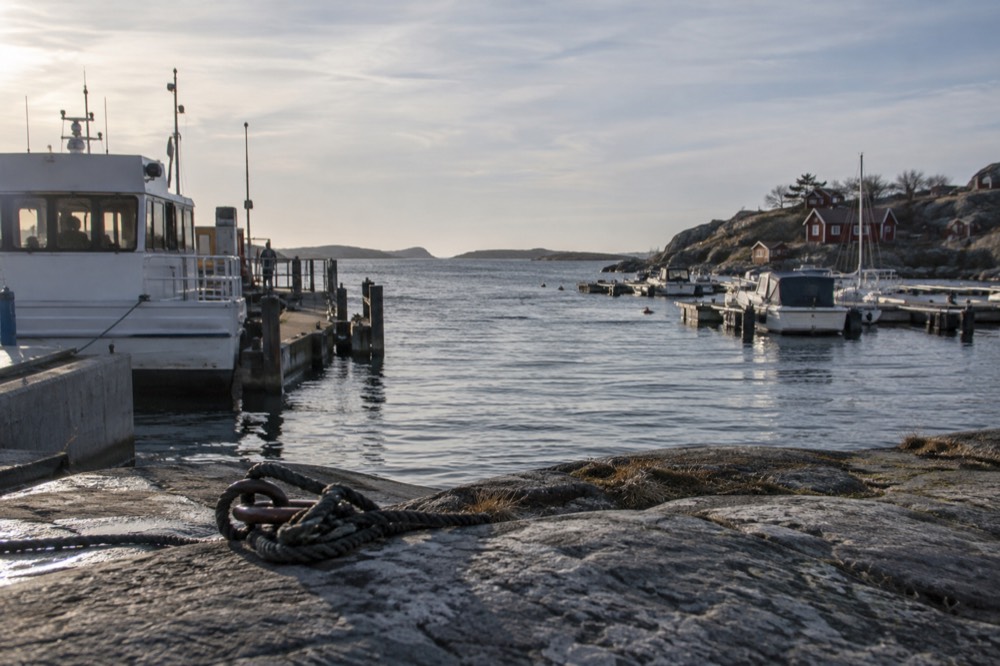
No. The southern archipelago islands are protected from car traffic by city regulation: Göteborgs Stad's own study states that the islands within the southern archipelago are closed to private cars, with exceptions only for taxis, accessible-transport services and emergency vehicles. There is no car ferry, no parking on the islands and no way to drive there, which is precisely why the tram-and-ferry route is the only route.
That regulation is the islands' whole character. It is why the paths are footpaths, why bicycles and wheelbarrows outnumber vehicles, and why the ferry decks carry passengers, prams and the occasional delivery pallet rather than cars. The city document that establishes the car ban is published by Göteborgs Stad in its southern archipelago feasibility study, and it frames the islands as a protected pedestrian environment, which matches what the ferry network is built for.
The practical consequence for a driver is Saltholmen itself. The terminal is the tram terminus, and parking near it is limited and in demand on summer weekends, so the transport authority's own guidance points visitors to arrive by tram. If you are staying centrally, the car is simply the wrong tool: park it at the hotel and buy a day ticket instead. Our Gothenburg on a rainy day and free things to do in Gothenburg pages both lean on the same car-free logic, because the city's best-value experiences are the ones the ticket already covers.
What About the Northern Archipelago, Öckerö?
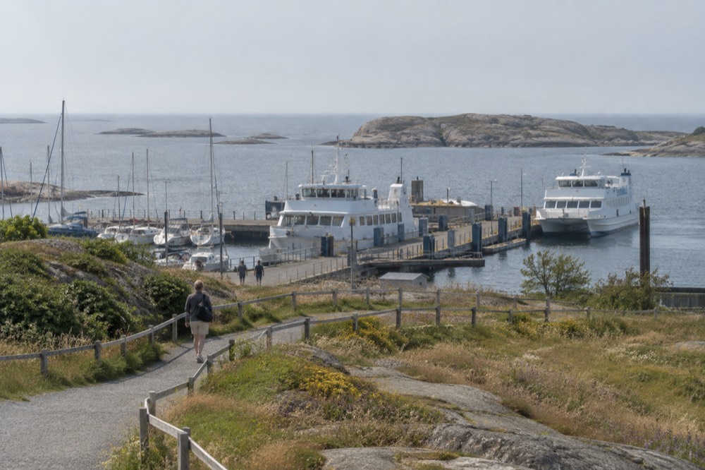
The northern islands, including Hönö, Fotö, Öckerö and Björkö, are reached by Västtrafik car ferries from Lilla Varholmen on Hisingen, and they are also inside Zone A, so the same ticket logic applies. Unlike the southern islands, these ferries carry cars, and the islands are not car-free, which makes them a different experience: more driving, more summer cottages, and beaches such as Hönö that draw big local crowds in July.
Getting there is a different journey. You take a tram or bus across the river to Hisingen, then a bus to Lilla Varholmen, where the ferries shuttle across to the Öckerö islands on a frequent schedule. The crossing is short, the boats are bigger, and because they take vehicles they run with a rhythm closer to a bridge than to a scenic cruise. Västtrafik's zone map shows Öckerö inside Zone A, so the 125 kr day ticket works here too.
Choosing between the two halves of the archipelago is mostly a choice of mood. The southern islands reward walkers and swimmers who want car-free quiet. The northern islands reward beach days and ease of access, at the cost of sharing the roads with cars. Our northern archipelago guide covers Hönö, Öckerö and Björkö in full.
| Southern archipelago | Northern archipelago | |
|---|---|---|
| Departure point | Saltholmen (tram terminus) | Lilla Varholmen, Hisingen |
| Islands | Styrsö, Brännö, Vrångö, Donsö, Asperö, Köpstadsö | Hönö, Öckerö, Björkö, Fotö and others |
| Cars | Banned | Ferries carry cars |
| Ticket zone | Zone A | Zone A |
| Best for | Car-free walking, quiet, sea swimming | Beaches, family days, easier load-in |
If a day of hiking the southern islands with a guide appeals, there is a guided option that includes the fika break, and a cruise version for those who prefer the water to the trail.
What Is There to Do Once You Are on the Islands?
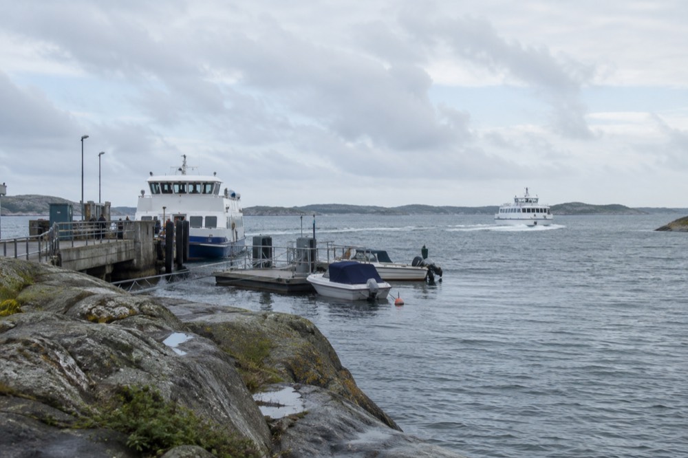
The southern islands are for walking, swimming, picnics and slow lunches: Vrångö has the group's best sandy beach, Brännö has flat paths and summer dancing, Styrsö has a village kiosk and harbour, and the sea around all of them is warm enough for real swimming from July into September. There are no museums, no ticketed attractions and no entrance fees, because the islands themselves are the attraction.
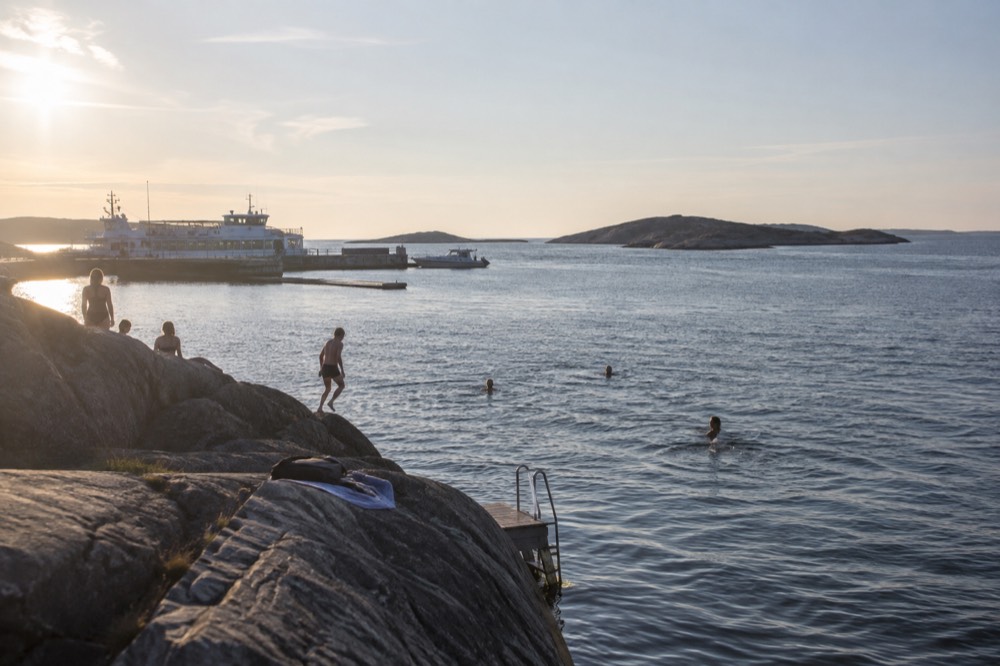
The swimming season is longer than most visitors plan for, and the numbers come from SMHI's own oceanographic archive at the Vinga lighthouse station. The sea temperature peaks in August at 18.6 C, not July, and September water at 16.7 C is warmer than June water at 16.2 C. February, not January, is the coldest month at 2.7 C. In other words, the archipelago swim you booked for midsummer would actually have been warmer if you had booked it for late summer.
| Month | Mean sea temp at Vinga (SMHI) | What it means for swimming |
|---|---|---|
| June | 16.2 C | Bracing, possible with a towel nearby |
| July | 18.3 C | Proper summer swimming |
| August | 18.6 C | The annual peak, warmest water of the year |
| September | 16.7 C | Warmer than June, often calm and empty |
| February | 2.7 C | The coldest month, for cold-water swimmers only |
Beyond the water, the day is shaped by food and pacing. Island kiosks and small cafés open seasonally, so a picnic from the mainland is the safe plan outside high summer, and fika, the Swedish coffee break, is the natural rhythm of any island walk. Our fika guide explains the custom, and where to eat in Gothenburg covers the seafood you should be eating on the west coast. For a guided taste of the islands' food culture, a cruise with a Swedish fika stop runs from the city:
When Is the Best Time of Year to Make the Trip?
Late August through September is the sweet spot: the sea is at or near its warmest, the July crowds have gone, and the ferries still run the summer schedule. April is the driest month of the year in Gothenburg at 51.3 mm of rain on 8.2 wet days, while October is the wettest at 102.9 mm, so spring and early autumn beat both midsummer and autumn proper for a boat day.
The rainfall numbers come from SMHI's 1991-2020 normals for the Göteborg A station, and they upend the usual assumptions. Summer is not the driest window, and October, the wettest month, arrives right when many visitors assume the season is still running. The archipelago in April means clear air, few people and cold water; the same islands in late August mean warm sea and long evenings, with daylight still generous well past 20:00.
Winter is not off the table either. The ferries run all year, the islands are quiet in a way summer visitors never see them, and a cold crossing with a thermos is a genuinely local experience. Our pages on the archipelago in winter and Gothenburg in winter cover the cold-season version, and the best time to visit Gothenburg puts the whole calendar side by side.
However you time it, a guided sailing or cruise option removes the ferry timetable from the equation entirely, which is worth considering on short winter days or with a group:
For travellers who want the simplest possible version of the day, the guided archipelago cruise is the one product that most closely mirrors the ferry route itself: a boat, a guide, and the southern islands from the water, with a fixed departure you book in advance rather than a timetable you read at the pier. It is the option to reach for when the weather window is short or the group would rather not gamble on connections.
Common Questions About the Gothenburg Archipelago
Is the ferry to the Gothenburg archipelago free?
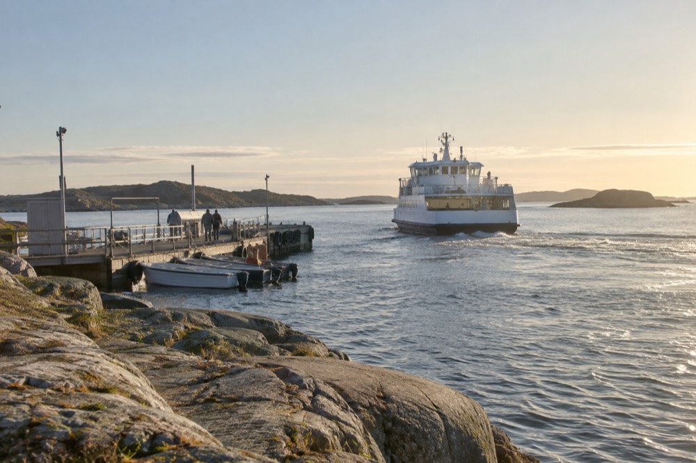
No, but it is not a separate fare either. The ferries are ordinary Västtrafik services, so any valid Zone A ticket covers them, including the 125 kr 24-hour ticket and the 38 kr single. There is no free option and no island surcharge.
Can I do a day trip to the Gothenburg archipelago?
Yes, and it does not even count as a day trip in the strict sense, because the southern islands are areas of the city of Gothenburg inside the Västtrafik zone. Tram, ferry, island time and the ride home fit comfortably into a day.
Do I need to book the archipelago ferry in advance?
No. The ferries are scheduled public transport. You cannot reserve a seat; you buy a Västtrafik ticket and board the next departure. In peak summer the boats can fill, so arrive at the pier early for the first sailing.
Which tram goes to Saltholmen?
Trams terminate at Saltholmen, the western end of the network, and the ferry piers are a short walk from the platform. Check the Västtrafik app for the line serving Saltholmen on your day of travel, as line numbers can change with service works.
Are the Gothenburg archipelago islands car-free?
The southern islands, Styrsö, Brännö, Vrångö, Donsö, Asperö and Köpstadsö, are closed to private cars under a city regulation that allows only taxis, accessible transport and emergency vehicles. The northern Öckerö islands are not car-free and their ferries carry vehicles.
When is the water warm enough for swimming?
According to SMHI's Vinga station data, the sea peaks in August at 18.6 C and stays at 16.7 C through September, which is warmer than June at 16.2 C. July and August are the reliable swimming months, and September is an underrated one.
The archipelago is the part of Gothenburg that most itineraries underuse, and the reason is almost always the assumption that islands require planning, bookings or a tour. They do not. One tram, one ferry, one ticket, and the city quietly ends in the open sea. For everything else on the ground, Gothenburg Travel Guide covers the neighbourhoods, the museums and the food in between.